Descripción
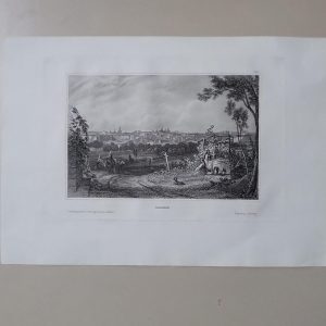
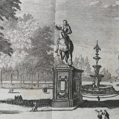
Descripción del estado: ROTURAS Y MANCHAS. Marcas de agua en el margen inferior que afecta a la descripción VER IMÁGENES
Relieve por normales y sombreado. – Caminos. – Clave numérica indicando los lugares más significativos representados en el plan.
Dimensiones: 50,5 x 40,1 CM.
Draught of the Bay of Bulls between the town of Rotta and Fort St. Catherine, under the command of his Grace the Duke of Ormond….For Mr Tindals Continuation of Mr Rapin’s History of England. Plano de 1745 de la batalla durante la Guerra de Sucesión.
The map is engraved by I. Basire (also known as James Basire Sr.) and from Mr. Rapin’s History of England.Origin: Paul de Rapin’s, The History of England. by Nicholas TindallPaul de Rapin (25 March 1661 – 25 April 1725), sieur of Thoyras (and therefore styled Thoyras de Rapin), was a French historian writing under English patronage.http://en.wikipedia.org/wiki/Paul_de_Rapin.Engraved by Basire (1730–1802), also known as James Basire Sr.His father was Isaac Basire (1704–1768), a cartographer, his son (1769–1822) and grandson (1796–1869) were also named James; these four generations of Basires were all engravers.
NO REPRODUCCIÓN. ORIGINAL DE ÉPOCA


