Descripción
Descripción del estado: Marcas de doblez. Agujero de gusano, afecta mapa. Ver imágenes
Medidas: 40 x 50,5 cm.
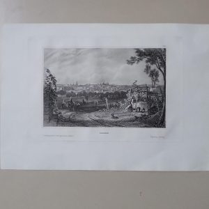
Title: Plan of the Country and camps of Almanar, the one under Charles III and the other of the Enemy under the D. Of Anjou, who was defeated by 16 squadrons, commanded by Lieut. Gen. Stanhope. July 27, 1710.
Plano topográfico, grabado al cobre.
Description: Battle plan of Almanar, Old antique engraved plan with excellent detail of the fortifications of Almanar Spain – Batalla de Almenar.
https://es.wikipedia.org/wiki/Batalla_de_Almenar_(1710)
From Tindal’s Continuation of Rapin’s History of England.
The Battle of Almenar (Batalla d’Almenar) was held on 27 July 1710 during the Spanish War of Succession in the community Almenar in the present province of Lleida instead. There were the Allies British and Imperial on one side and the Spanish troops of Philip V on the other side opposite. The fight ended in victory for the Allies.
Paul de Rapin (25 March 1661 – 25 April 1725), sieur of Thoyras (and therefore styled Thoyras de Rapin), was a French historian writing under English patronage.
Engraved by James Basire (1730–1802), also known as James Basire Sr.
NO REPRODUCCIÓN. ORIGINAL DE ÉPOCA


