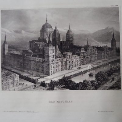


Descripción
Descripción del estado: Márgenes desiguales. Marcas de agua. Ver imágenes.
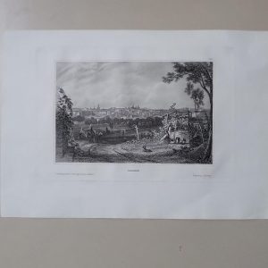
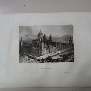
Medidas totales: 44.5×37.4cm. Medidas huella: 39.1×33.5cm. NO REPRODUCCIÓN ORIGINAL DE ÉPOCA. Erste historische Ritter-Orden Charte…
Old coloured copper engraving with knight orders from Bequemer Schul- und Reisen-Atlas also titled Atlas scholasticus et itinerarius by Christoph Weigel. First published in Nuremberg in 1718. Weigel’s well-known travel atlas, which he published in collaboration with Professor Johann David Köhler.
Johann Ernst Adelbulner, Nuremberg, 1718
Christoph Weigel the Elder was an engraver and publisher active in Nuremberg in the early 1700s. During his lifetime he published 70 books and series of engravings, including the atlas Descriptio Orbis Antique in XLIV tabulis published in 1720. For his geographical works and maps, he worked closely together with the highly successful Nuremberg cartographer Johann Baptist Homann. His younger brother, Johann Christoph Weigel (1661-1726) also known as Christoph Weigel the Younger, worked as well as an engraver and publisher in Nuremberg. Weigel’s company was continued by his wife when he died in 1725.Mapas Europa