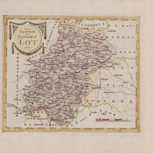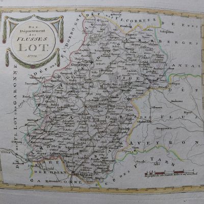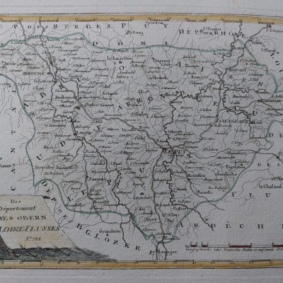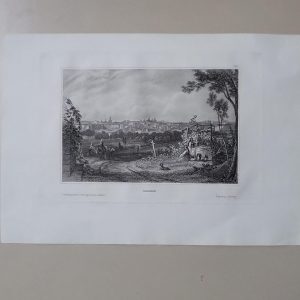


Descripción
Descripción del estado: Ver imágenes. Marcas de agua esquinas.
Medidas totales: 58 x 51 cm. Medidas de la huella: 50 x 38 cm.
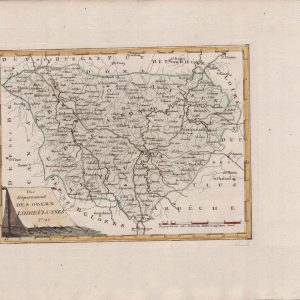
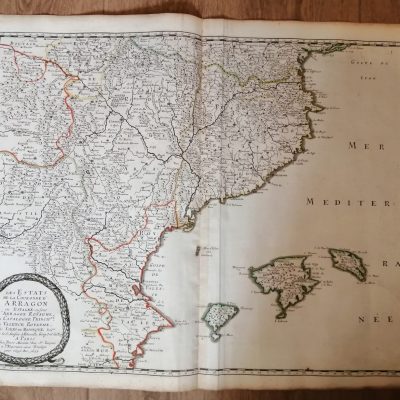
Large folio map of the northern province of Artois on the border with Belgium. Fully engraved to illustrate forests, rivers, bridges, cities and villages. A fishing boat, sea monster and compass rose grace the sea and an elaborate title cartouche with the coat of arms completes the map. Published in Amsterdam by W. J. Blaeu, 1644. Verso: texto latino.
Artesia Comitatus. Artois