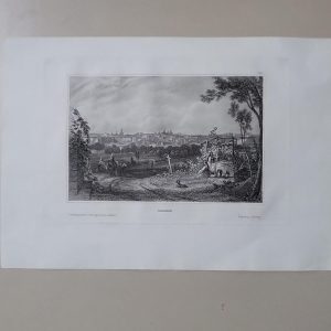


Descripción
Descripción del estado: Marcas de agua. Ver imágenes.
Medidas totales: 58.9×42.5cm. Medidas huella: 47×31.2cm. NO REPRODUCCIÓN ORIGINAL DE ÉPOCA. Vues de la Côte du Nord-Ouest de L’Amerique, reconnue par les Frégates Françaises La Boussole et et l’Astrolabe en 1786.3. Feuille
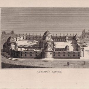
Mont S. Elie – Mont Crillon – Mont Beautems – Îles des Espagnols – Île S. Carlos. – Port des Brisants – Mont la Touche – Îles Sartines
From “VOYAGES OF LA PEROUSE”, published by G. G. Robinson, London, in 1798
Jean-François de Galaup, comte de La Pérouse (1741-1788) From 1772 to 1777 he served the French colonial government in the Indian Ocean, sailing from Calcutta to Madagascar and elsewhere in the region. When in 1778 France entered the American Revolution on the side of the colonies, La Pérouse (now in command of his own vessels) returned to harassing the British, seizing ships and burning forts all along the Atlantic Coast and as far north as Hudson Bay.Mapas Resto del Mundo