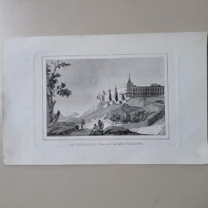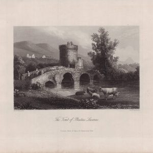


Descripción
Descripción del estado: Pequeñas oxidaciones. Ver imágenes.
Medidas totales: 60 x 52 cm. Medidas huella: 57 x 49 cm.
Old colored copper engraving by M. Seutter, made around 1735. The map shows the southern part of Austria (Steiermark), with the city of Graz in the center. In the bottom left a beautiful intricate title cartouche and on the right a cartouche with mile stick.
Duchy of Styria was a located in modern southern Austria and northern Slovenia. It was part of the Holy Roman Empire until its dissolution in 1806 and later became part of the Cisleithanian crown of Austria-Hungary, until the Empire dissolution in 1918.
Stiria Ducatus juxta recentissimas observationes et accuratissimas mappas commoda hac forma aeri in sculptus et usui publico destinatus per Matth. Seutter, S.C.M. Geogr. Aug. Vind