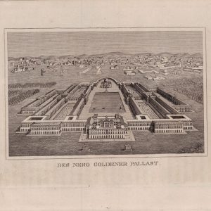


Descripción
Descripción del estado: Laterales desiguales. Marcas de edad
Medidas totales: 51 x 63 cm. Medidas de la huella: 46 x 59 cm.
North-oriented map of the Kingdom of Portugal with the adjacent areas of Spain. In the north to Baiona. In the south to the Gulf of Cadiz. In the west to the Atlantic. In the east to Toro and Sevilla. Homann copied this map of Nolin around 1720, which explains the unusual form of the cartouche in a Homann map. This map is the improved new edition by Homann Erben from the year 1736.