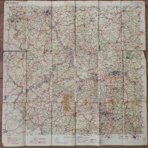
Descripción
Descripción estado: Buen estado
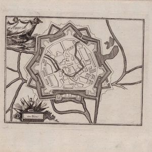
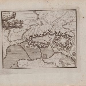
Medidas totales: 50.7×33.9cm. Medidas huella: 27x22cm. Map of the Gard region around Nimes, done by Von Reilly and published in 1790 in “Schauplatz der fünf Theile der Welt”.


Mapa antiguo siglo XVIII Departamento Rio Gardon Francia 1790
34,58 € IVA inc.
Sin existencias
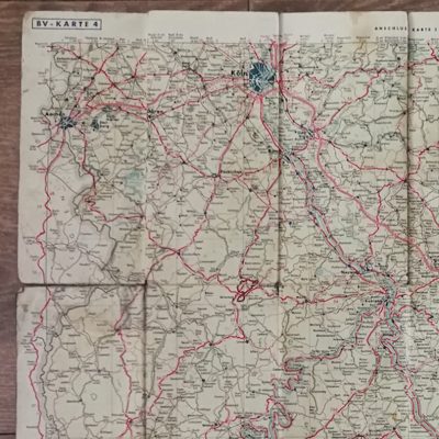
Descripción estado: Buen estado
Medidas totales: 50.7×33.9cm. Medidas huella: 27x22cm. Map of the Gard region around Nimes, done by Von Reilly and published in 1790 in “Schauplatz der fünf Theile der Welt”.